Trip to Scotland and England 2010
Oct 12, Tuesday
Breakfast at B&B, drove by Wick airfield, then to John O'Groats and
Pt. Duncansby, Thurso, by a memorial to a downed B-17, the Stones of
Caithness and down to Inverness which we bypassed to go to Nairn where
we spent the night.
Images from the Wick area
|
|
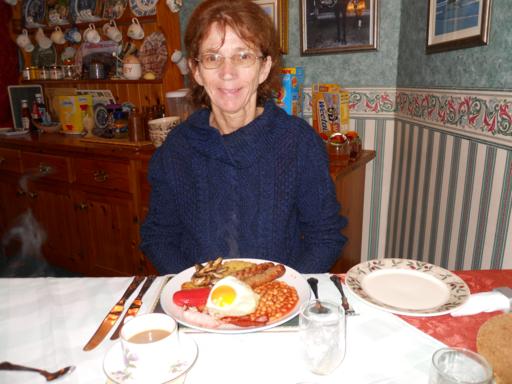
Breakfast
with an egg fresh that morning
|
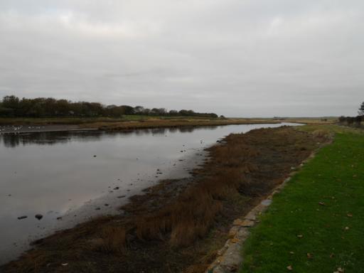
The
river at Wick
|
|
|
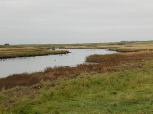
river
view
|
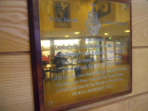
Memorial
plaque at airport
|

|
|
Wick
airfield
|
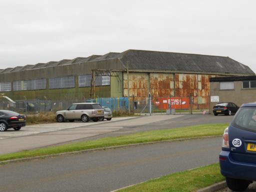
WWII
seaplane hangers
|
Images at Point Duncansby
|

|
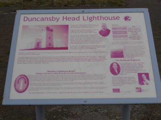
Lighthouse
information
|
Sun
salutation at furthest north east point of U.K.
|
|
|
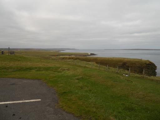
View
at the point
|
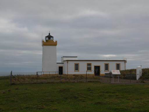
The
Lighthouse
|
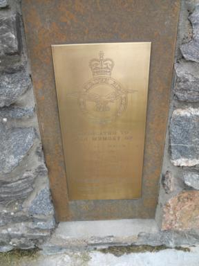
Bomber Memorial Plaque at Halsary
 |
|
Memorial
plaque on the cairn
|
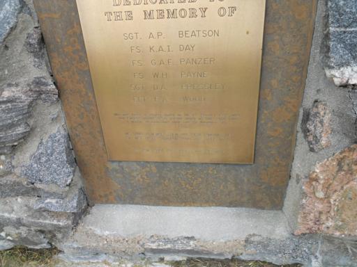
closeup
showing the names of those who perished in the crash
|
This memorial plaque is installed on a cairn at a layby on the A9 near
Hornaby south of Thurso. It is located near N 58 25 00 W3 25 00 and is
just visible on google earth
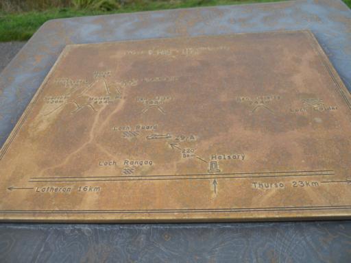
The map indicates that the crash site is located 5 km from the memorial
at a bearing of 220 degrees. We did not do the hike which is across a
peat bog. I believe we could see something in that vicinity on google
earth
|
 |
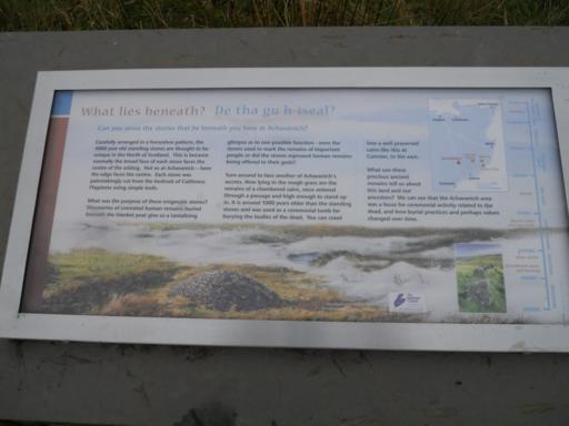
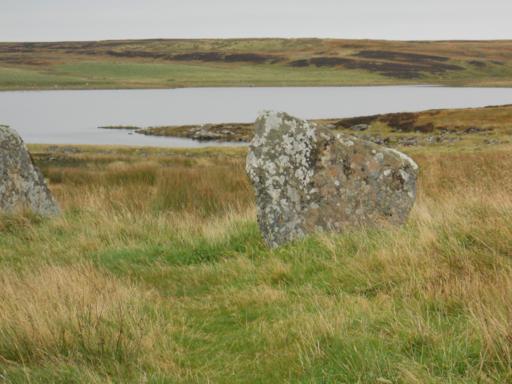
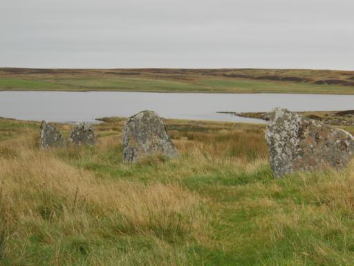
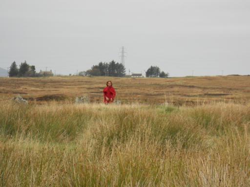
Images at the Stones of Caithness
These stones are estimated to be 4,000 or more years old.
|